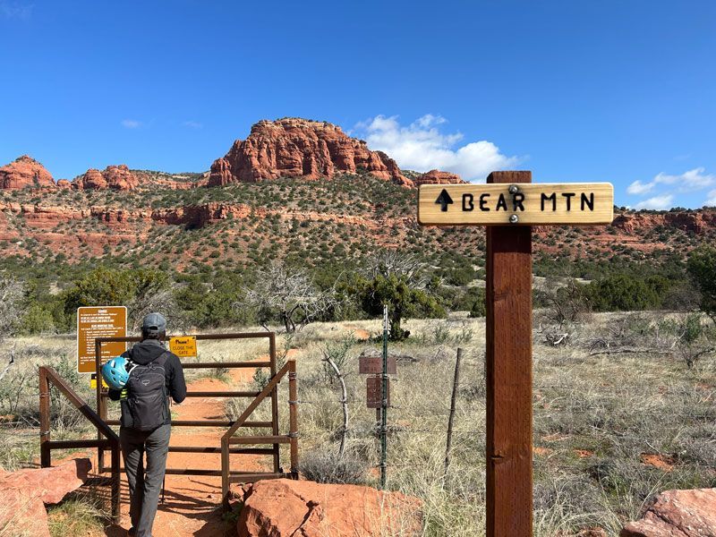


New Flood Insurance Rate Maps now in effect for Oak Creek Canyon property in Yavapai County
February 22, 2024
New Flood Insurance Rate Maps recently went into effect for properties in the Yavapai County section of Oak Creek Canyon.
The maps help determine flood insurance rates and building requirements; and those for Coconino County properties in the Canyon went into effect a year ago. The new maps are the result of years of study and review by local Flood Control Districts, the City of Sedona and the Federal Emergency Management Agency.
Residents whose flood risk has increased based on the new maps can take advantage of cost-saving opportunities with FEMA’s National Flood Insurance Program; and for more information, or if you have other questions about the new maps, contact the Yavapai County Flood Control District.
Josh Freeman | KAZM News Director | josh@mellowmountainradio.com